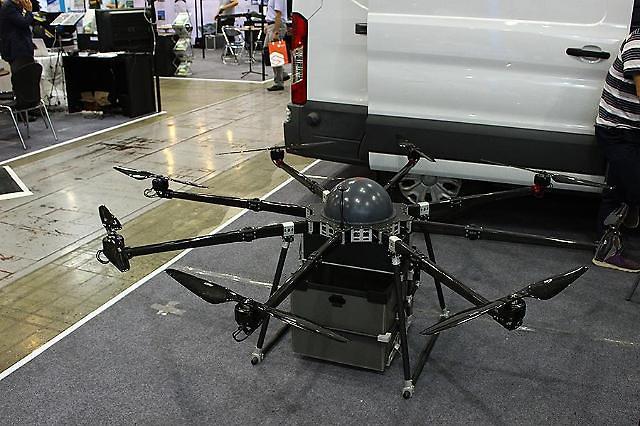
A delivery drone is displayed at the RoboUniverse & K-Drone EXPO held at COEX in July 2017[Photo by Park Sae-jin]
SEOUL, Feb. 01 (Aju News) -- As many industries including delivery and surveillance try to utilize drones to save costs and time, the South Korean government will use the flying gadget to gather land information and carry out surveys.
The Ministry of Land, Infrastructure and Transport said in a statement on Thursday that it would fully utilize drones to carry out land surveys and gather geological information. Some 1.5 billion won (1.3 million US dollars) would be spent this year on buying drones and developing related technologies.
"Drones will help to cut costs and manpower required for land surveying," a ministry official said. Currently, the ministry conducts surveys manually on land or uses aerial photographs and satellite images.
Helped by the Korea Land and Geospatial Informatix Corporation (LX), a public company which collects and analyzes data, the ministry has tested drones in 28 designated areas around the country since 2016.
Ministry officials said they would launch an open information platform in March to provide digitalized cadastral maps and high-quality images shot with drones, while LX will establish a drone school to teach land surveying techniques using drones. LX eyes overseas clients in Africa and Central America. In Uruguay last year, the company used drones in managing a $650,000 state project to improve land information.
Because of its lightweight and versatile characteristics, drones are used as a vital tool for many industries. Last year, a food delivery company used drones to successfully deliver a pack of Korean style snacks. A government anti-disaster center is developing drones to save people in emergency situations.
reporter

Park Sae-jin
swatchsjp@ajunews.com